
Hope on the horizon
Super El Niño, monsoons in forecast, but will they be enough?
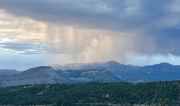
An afternoon rainstorm kicks up over the La Plata Mountains in the summer of 2025./ Photo by Missy Votel
As Colorado grapples with a record- low snowpack, a “super” El Niño and strong monsoon season could provide some relief.
Colorado’s weather is impacted by everything from temperature changes in the Pacific Ocean to pressure patterns over Texas – not to mention rising temperatures around the globe. This year’s La Niña conditions, created by cooler water in the Pacific, should at least have brought snow to Colorado’s northern mountains. Instead, the state ended the winter early, with record hot days and rapid snowmelt, prompting water restrictions and cutbacks around the state.
As of last week, however, La Niña is declared to be over, and the odds are increasing for a strong El Niño, later in 2026. The climate pattern, caused by warm waters in the Pacific, has historically brought wetter winter conditions to Colorado, according to the National Weather Service.
It’s a dose of hope for residents looking for a reprieve from record-breaking drought, Colorado state climatologist and Colorado State University professor Russ Schumacher said.
“I don’t think we’re going to be stuck in just dry, dry, dry for many, many more months to come,” said Schumacher. “I think there is some reason for optimism.”
A lot of Colorado’s bad drought years have come during La Niñas, and Colorado has had multiple La Niña years in a row. “It doesn’t guarantee that things are going to improve in the near term,” Schumacher added, “but we have a better chance if La Niña is in the rearview mirror.”
El Niño and La Niña are opposing climate patterns in the Pacific that can affect weather worldwide. Together, they’re called the El Niño-Southern Oscillation cycle, or ENSO for short.
The patterns vary based on water temperatures in the central and eastern Pacific Ocean that are influenced by the trade winds circling the Earth near the equator. Meteorologists watch a specific region in the Pacific near the equator to determine whether the water temperature is warmer or cooler than normal, said Erin Walter, a hydrologist for the National Weather Service in Grand Junction.
If the region’s water is more than 0.5 degrees Celsius warmer than usual, then scientists call it an El Niño. If the temperature is more than 0.5 degrees Celsius cooler, it is a La Niña.
“They’re basically like opposite waves,” Walter said. “They ebb and flow together. And they’re more irregular than one would think.”
The warmer or cooler temperatures need to persist for months before scientists will shift the classification from neutral into El Niño or La Niña territory. The climate patterns typically last nine to 12 months but can sometimes last for years.
El Niño and La Niña events occur every two to seven years, on average, but they don’t occur on a regular schedule. Generally, El Niño occurs more frequently than La Niña, according to the National Oceanic and Atmospheric Administration.
The temperature fluctuations in the Pacific impact how and where jet streams flow, delivering cold and wet conditions to some areas and dry, warm conditions elsewhere. The ENSO events also can lead to flooding, heavy rains, landslides and drought. They change where fish can find nutrients in the ocean, and La Niña can lead to a more severe hurricane season, according to NOAA.
To continue reading, visit the Colorado Sun here